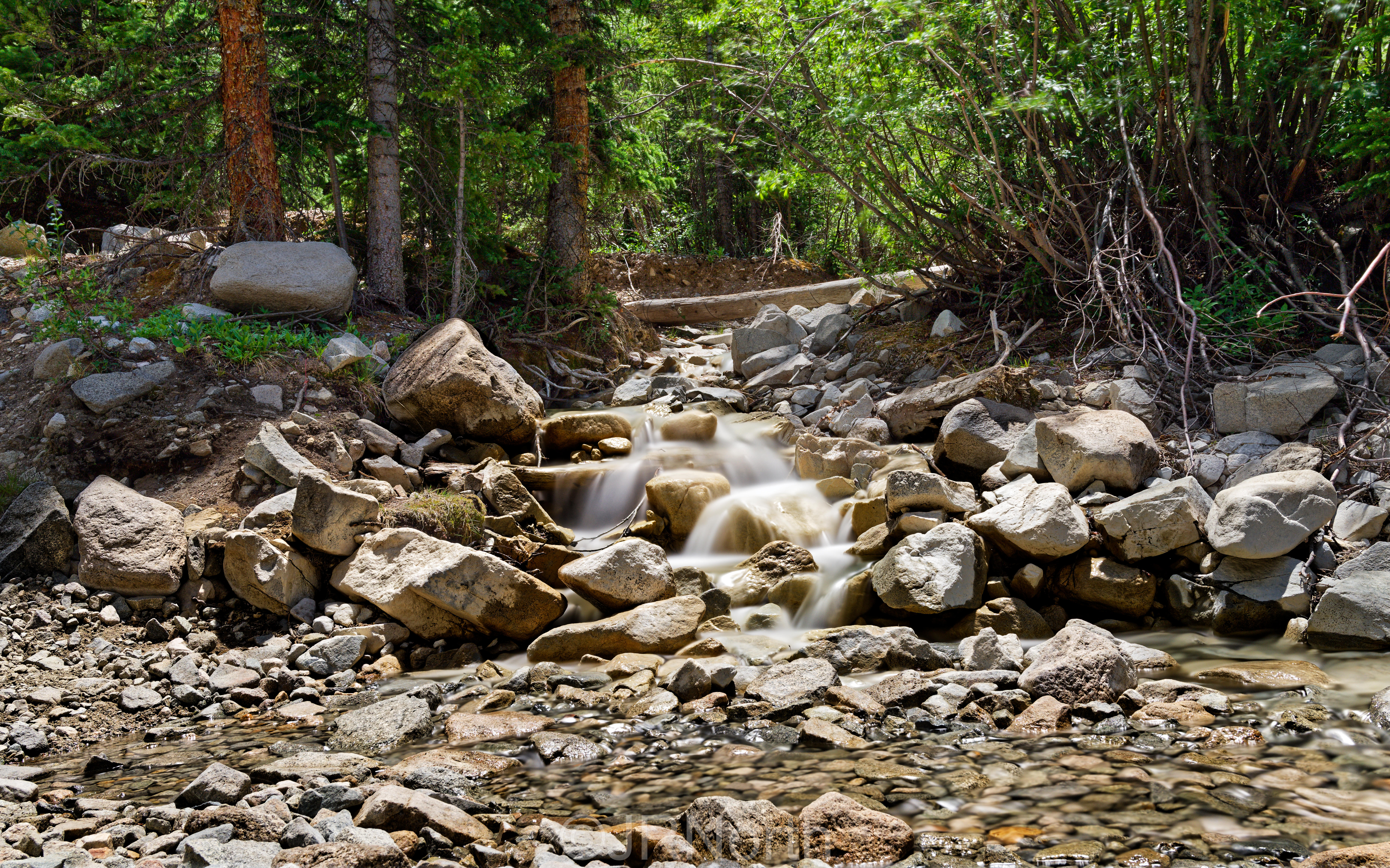
Mt Antero is one of the highest jeep routes in Colorado, climbing out of the Chalk Creek drainage near Nathrop and topping out above 13,800 feet on the west shoulder of the peak. The road follows Baldwin Gulch through timber, crosses Baldwin Creek, and then switchbacks up an exposed alpine shelf road toward the Antero gem fields. It is a long day on the trail, with a rocky lower section, a stream crossing, and a narrow upper shelf road that holds snow into summer.
Trail Summary
- Location: San Isabel National Forest, near Nathrop, Colorado
- Distance: 13.9 miles
- Difficulty: Level 5
- Minimum Elevation: 9,447 ft
- Maximum Elevation: 13,821 ft
- Elevation Gain: 4,035 ft
- Travel Time: 5 hours 18 minutes recorded (3 hours 19 minutes moving time)
Difficulty
Best suited for a lightly modified 4x4
A small lift and tires larger than stock are recommended, along with skid plates and rock sliders. The road surface is rocky and undulated with sections of loose rock and short, steep grades. Water crossings run up to 18 inches deep and trail obstacles reach close to 2 feet in places, including ledges and rutted climbs. Careful tire placement is needed on the upper shelf sections, where the road is off camber and narrow with limited room to pass.
Elevation
The route starts near 9,447 feet along Chalk Creek and climbs to 13,821 feet on Antero's west slopes. Total climbing over the course of the drive comes to 4,035 feet, with 4,212 feet of descent, reflecting the up and down nature of the gulch before the final push above tree line. The high point sits well above tree line in true alpine terrain.
Terrain
This is high alpine terrain. The lower miles run through lodgepole and spruce forest alongside Chalk Creek and Baldwin Creek, with a mix of dirt and embedded rock. Above the creek crossing the trail leaves the trees and switchbacks up open talus slopes, where the surface turns to loose rock and scree. The final stretch tops 13,000 feet on a narrow shelf road with real exposure on the downhill side.
4WD Experience
Expect a rocky start right from the Baldwin Gulch turnoff, with embedded rock and some ruts through the first mile. The creek crossing near 10,850 feet is usually straightforward in a high-clearance rig but can run higher with snowmelt earlier in the season. Above the crossing the road narrows and steepens through a long series of switchbacks, with loose rock and off-camber sections that reward careful tire placement. Short-wheelbase vehicles have an easier time on the tight switchbacks near the top. Traffic includes a mix of Jeeps, UTVs, and rockhounds looking for aquamarine and topaz, so plan for slow going and pullouts to let oncoming vehicles pass.
Travel Time
A realistic estimate for a high-clearance 4WD vehicle covering the drivable sections of this route runs 3.5 to 4.5 hours round trip, accounting for the technical switchbacks and creek crossing. The recorded track shows a total time of 5 hours 18 minutes including stops, with 3 hours 19 minutes of that spent moving. Plan for extra time if stopping to look for gem material or if the upper road holds snow.
Highlights
Mt Antero is known for producing some of the best aquamarine and smoky quartz specimens in the country, and rockhounding along the upper talus fields is a common reason people make the drive. The switchbacks above tree line open up wide views across the Collegiate Peaks and down into the Arkansas Valley. Chalk Creek and Baldwin Creek offer good water and shaded camping in the lower miles before the climb begins in earnest.
Trail GPS File
Map
GAIA GPS Track
Photos
Photo 1 (38.68968, -106.27375 | 10,586 ft)
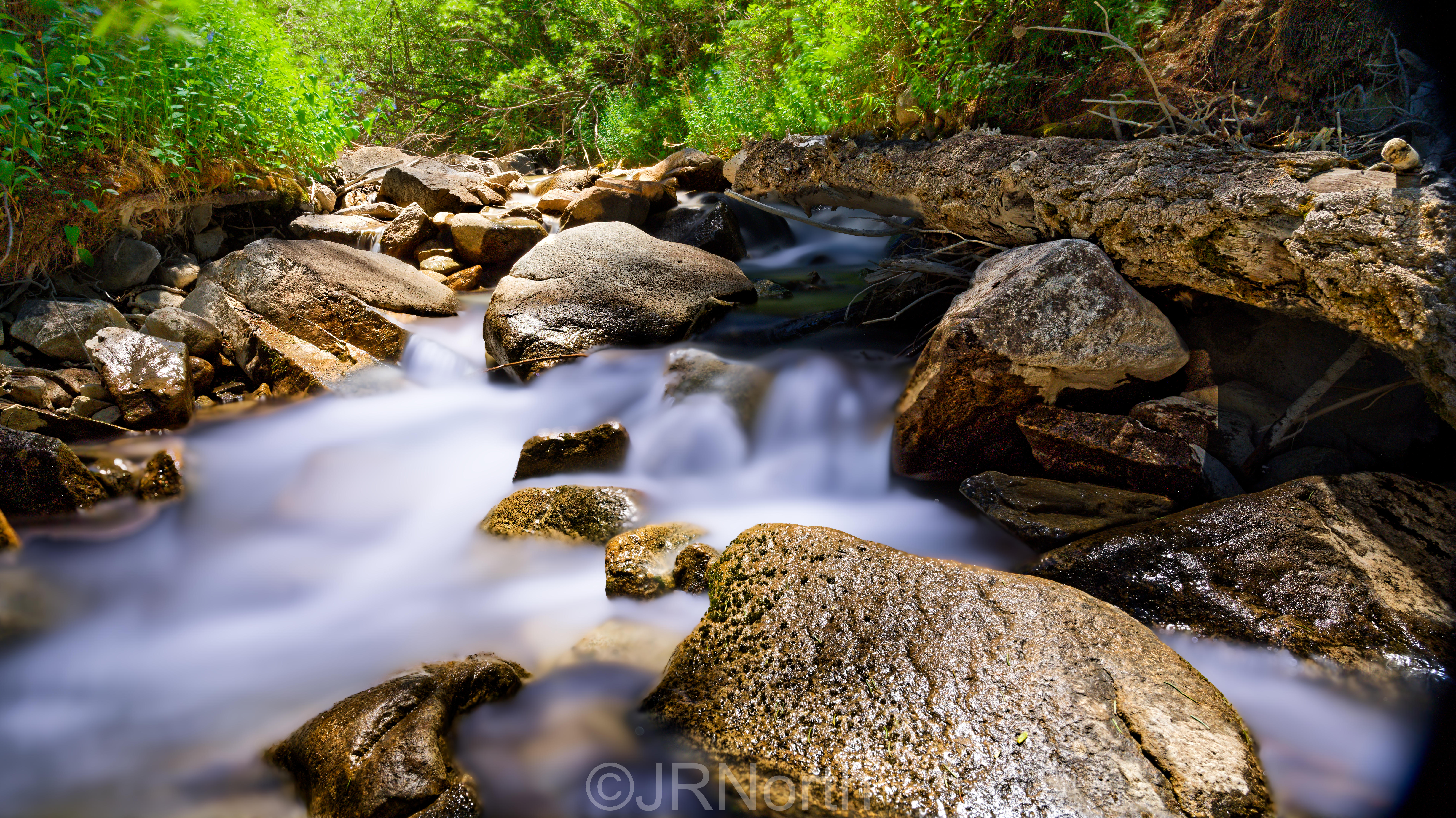
Photo 2 (38.68243, -106.27286 | 10,861 ft)

Photo 3 (38.68016, -106.26882 | 11,042 ft)