Brian Head Peak Road climbs out of a mountain meadow on the Markagunt Plateau and winds its way up through spruce and aspen to the summit of Brian Head Peak, the highest point on the plateau at 11,307 feet. The route follows a graded forest road the entire way, passing a couple of dispersed camping areas and a display board before reaching the wide shelf section that carries the road around the mountain's edge to the top.
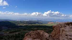
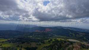
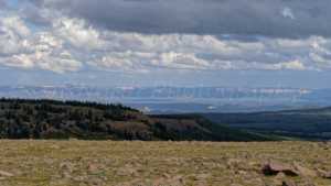
This is a drive-up peak with big views in every direction. On a clear day you can pick out Utah, Nevada, and Arizona from the stone shelter at the summit, and the road itself stays wide and well maintained the whole way up.
Trail Summary
- Location: Brian Head, UT
- Distance: 3.8 miles
- Difficulty: 1
- Elevation: From 10,365 ft to 11,254 ft with an 889 ft change
- Travel Time: 0 hours 29 minutes
Difficulty
Suitable for high clearance 2WD
Stock equipment is all that's needed here. The road surface is dirt and gravel with gentle grades and good traction, and it's typically wide enough for two vehicles to pass. The one section that gets called out as the trickiest spot on the drive is still well within Level 1 limits, with nothing that requires a special line or extra clearance. The shelf road stretch near the summit is wide, two vehicles across, so there's no need to worry about tight passing.
Terrain
The road is graded dirt and gravel from the start, climbing steadily through open meadow and mixed conifer forest. As it gains elevation the trees give way to more exposed, rocky ground near the top, where the road runs along a wide shelf cut into the mountainside before reaching the summit parking area. Surface conditions stay consistent throughout, with no washouts or loose sections that would slow down a stock high clearance vehicle.
Highlights
There are two dispersed camping spots along the way, one open area near the base that can hold four or five rigs with easy in and out access, and a shadier spot farther up in the trees with room for about three rigs including trailers. A display board partway up covers area history and sits next to a single stall pit toilet. Brian Head Peak itself was originally known as Monument Peak and Bear Flats, and the story behind its current name is debated, with some crediting explorer John Wesley Powell and others pointing to a name change honoring politician William Jennings Bryan around 1890, with the spelling shifting to Brian over time. A Forest Service lookout was built on the summit in the mid 1930s, and the stone shelter at the top today makes a good spot to take in the view.
Map
Waypoints
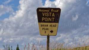 |
Waypoint 1 (37.6689, -112.8392)This is the start of Brian Head Peak Road. |
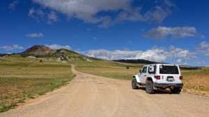 |
Waypoint 2 (37.6689, -112.8392) |
 |
Waypoint 3 (37.6689, -112.8392) |
 |
Waypoint 4 (37.6689, -112.8392) |
 |
Waypoint 5 (37.6717, -112.8363)There's camping at this location: three or four rigs, five maybe. Easy in, easy out. No shade, no trees, no privacy. |
 |
Waypoint 6 (37.6717, -112.8363) |
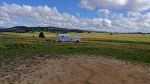 |
Waypoint 7 (37.6717, -112.8363) |
 |
Waypoint 8 (37.6860, -112.8194)There's a display board with information about the area and a single-stall pit toilet. |
 |
Waypoint 9 (37.6860, -112.8194) |
 |
Waypoint 10 (37.6862, -112.8193)Camp spot here. It's in the trees, has a little bit of shade, a little bit of privacy. Can hold probably three rigs, trailers included. |
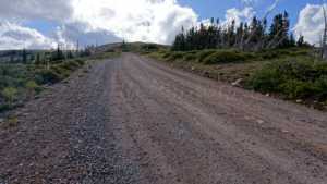 |
Waypoint 11 (37.6832, -112.8249)This is the hardest spot, level one. |
 |
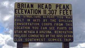
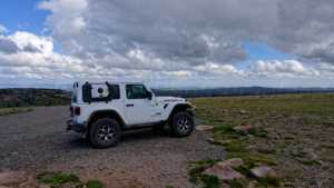
Waypoint 12 (37.6817, -112.8305)This is the top of Brian Head Peak. It's 11,307 ft. |
 |
Waypoint 13 (37.6817, -112.8305) |
 |
Waypoint 14 (37.6817, -112.8305) |
 |
Waypoint 15 (37.6817, -112.8305) |
 |
Waypoint 16 (37.6817, -112.8305) |
 |
Waypoint 17 (37.6817, -112.8305) |
 |
Waypoint 18 (37.6817, -112.8305) |
 |
Waypoint 19 (37.6817, -112.8305) |
 |
Waypoint 20 (37.6817, -112.8305) |
 |
Waypoint 21 (37.6817, -112.8305) |
 |
Waypoint 22 (37.6817, -112.8305) |
 |
Waypoint 23 (37.6817, -112.8305) |
 |
Waypoint 24 (37.6817, -112.8305) |
 |
Waypoint 25 (37.6817, -112.8305) |
 |
Waypoint 26 (37.6817, -112.8305) |
 |
Waypoint 27 (37.6817, -112.8305) |
 |
Waypoint 28 (37.6817, -112.8305) |
 |
Waypoint 29 (37.6817, -112.8305) |
 |
Waypoint 30 (37.6817, -112.8305) |