Cedar Hollow West 1 (FS 80199) is a short shelf road in the Uinta-Wasatch-Cache National Forest, tucked into the Cedar Hollow trail complex. The route stays narrow from the first turn, tightening into a rocky shelf along the hillside before easing off toward a quiet stopping point where a hiking trailhead and an ATV connector road take over. It is a scenic out and back run with just enough rock and narrow tree cover to keep a driver's attention.
Trail Summary
- Location: Uinta-Wasatch-Cache National Forest, near Kamas, Utah
- Distance: 1.7 miles one way
- Difficulty: Level 2 - Typically suitable for high clearance 2WD
- Minimum Elevation: 7,990 feet
- Maximum Elevation: 8,286 feet
- Elevation Gain: 108 feet
- Travel Time: About 25 to 35 minutes one way
Difficulty
Typically suitable for high clearance 2WD
Stock equipment is enough to get through here, but the narrow shelf section will test tire placement and ground clearance. The surface is dirt and rock with embedded ledges and loose rocks in the nine to twelve inch range, along with a few damp, muddy spots that linger after rain. The road runs one to two vehicles wide for most of its length, narrowing further where brush closes in along the shelf.
Elevation
The trail starts at 8,160 feet and works through a series of modest ups and downs on its way to the endpoint at 8,135 feet, a net loss of about 25 feet. Along the way it climbs a total of roughly 108 feet and drops about 244 feet, with the low point of the run at 7,990 feet and the high point at 8,286 feet. There is no single sustained grade. Instead the trail rolls with the terrain, gaining and losing elevation in short sections as it works along the hillside.
Terrain
This is mountain shelf road and rocky two-track for its entire length. The route follows a narrow bench cut into the hillside through pine forest, with embedded rock ledges and loose stone underfoot in the tighter sections. Brush crowds the road in spots and will pinstripe wider vehicles. A few areas hold moisture and turn muddy for weeks after rain. The trail is one lane for most of its run, with limited room to pass oncoming traffic.
4WD Experience
A stock high clearance vehicle handles this trail without much drama, though the narrow shelf section partway up rewards careful tire placement over the embedded ledges and loose rock. This is also the point where the road is tightest, with brush close on both sides. Four wheel drive is not strictly required in dry conditions but helps through the muddy patches and adds confidence on the looser sections of the shelf. The trail ends at a quiet spot where a hiking trailhead begins and an ATV only connector continues on. That connector is not suited for full size vehicles and should not be taken.
Travel Time
Recorded travel time on this run was about 25 minutes covering the 1.7 miles to the end of the trail, with roughly 22 minutes of that spent actually moving. A high clearance 4WD should plan for 25 to 35 minutes one way, allowing extra time through the narrow shelf section and for photo stops along the way.
Highlights
The narrow shelf road partway up the trail is the standout feature, with the route cut right into the hillside through pine forest. Openings in the trees along the way offer glimpses down into the surrounding drainage. The trail wraps up at a quiet junction where a hiking trailhead begins, a fitting spot to stretch your legs before heading back down.
Map
Photos
Photo 1 (GPS Location estimated from timestamp)
The start of the trail on Forest Road 80199.
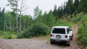
Photo 2 (GPS Location estimated from timestamp)
Another view near the start of the trail.

Photo 3 (GPS Location estimated from timestamp)
The trail narrows into a shelf road along the hillside.

Photo 4 (GPS Location estimated from timestamp)
The narrowest, most technical stretch of the shelf road.

Photo 5 (GPS Location estimated from timestamp)
Nearing the end of the trail.

Photo 6 (GPS Location estimated from timestamp)
Another look near the trail's end.
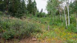
Photo 7 (GPS Location estimated from timestamp)
The final stretch before the trail's endpoint.

Photo 8
At the end of the trail, near the hiking trailhead and ATV connector.
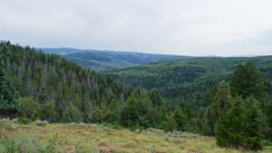
Photo 9
Another view from the trail's end.
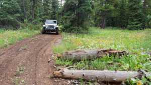
Photo 10
Additional view near the trailhead.
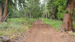
Photo 11
Final view at the trail's end.
