Center Creek Road climbs out of the Heber Valley and works its way up through the foothills southeast of Heber City before topping out near the Uinta-Wasatch-Cache National Forest boundary. The route starts on private ground along Center Creek, so the first stretch calls for staying on the established road until reaching public land higher up. From there the road narrows, gains elevation steadily, and moves through a mix of open range and timber on its way to the high country.
Trail Summary
- Location: Heber City, UT - accessed from US-40 and Center Creek Road
- Distance: 8.5 miles one-way
- Difficulty: Level 3 - Best suited for a high clearance 4x4
- Minimum Elevation: 6,276 ft
- Maximum Elevation: 9,431 ft
- Elevation Gain: 3,306 ft
- Travel Time: About 1 hour
Difficulty
Best suited for a high clearance 4x4
A stock vehicle with high ground clearance, 4WD, and off-road tires will handle this route without much trouble. The road surface turns rocky and uneven in stretches, with ruts, loose rock, and a few short climbs to watch for. Careful tire placement helps in the rougher sections, and the road narrows to one vehicle wide with occasional pull-outs to pass oncoming traffic.
Elevation
The trail starts along Center Creek at 6,276 feet and climbs steadily to a high point of 9,431 feet near the forest boundary, a gain of roughly 3,300 feet over the run. The climb is consistent rather than punchy, with the grade building gradually as the road works its way up through the drainage.
Terrain
Center Creek Road is a long, rolling climb over mountain shelf road and rocky two-track. The lower stretch runs through open range and private ground, while the upper half narrows and moves into timber as it nears the national forest. Surface conditions shift from graded dirt near the bottom to loose rock and rutted tread higher up.
4WD Experience
The first few miles are easy going, with a wide dirt road and gentle grade. About halfway up, the trail hits a rutted stretch that pushes it into level two territory, though a two-wheel-drive high-clearance rig can usually still get through with care. Past that point the road keeps climbing, and the surface gets rougher and looser the higher it goes. The steepest, most technical section comes near the top, where loose rock and a tighter grade bump the difficulty up to level three.
Travel Time
Plan on about an hour for the one-way run in a high-clearance 4WD, closer to an hour and fifteen minutes with stops at the viewpoint and camp areas along the way.
Highlights
A short pullout partway up the trail offers one of the better views back down into the Heber Valley, though there is not much room to linger. Higher on the mountain, the road crosses onto national forest land near an open dispersed camping spot with good tree cover. The final stretch tops out in mixed timber with a noticeably cooler, higher-elevation feel compared to the valley floor below.
Map
Interesting Waypoints
Waypoint 1 (40.453920, -111.324737)

Waypoint 2 (40.453920, -111.324737)
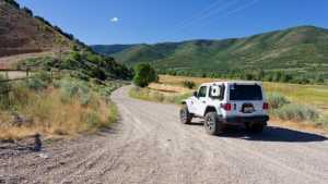
Waypoint 3 (40.453921, -111.324738)

Waypoint 4 (40.444558, -111.282476)

Waypoint 5 (40.443286, -111.275490)

Waypoint 6 (40.443364, -111.275557)
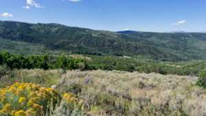
Waypoint 7 (40.420189, -111.248672)

Waypoint 8 (40.420160, -111.248656)

Waypoint 9 (40.420154, -111.248646)
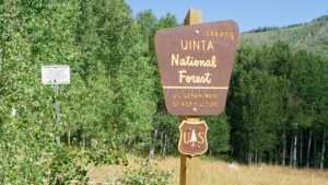
Waypoint 10 (40.420132, -111.248608)
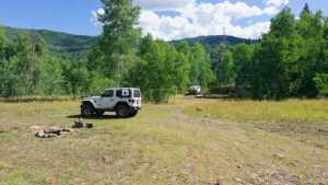
Waypoint 11 (40.420245, -111.248457)

Waypoint 12 (40.418983, -111.249983)

Waypoint 13 (40.408857, -111.242481)

Waypoint 14 (40.408857, -111.242482)
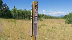
Waypoint 15 (40.408857, -111.242482)
