Clyde Creek Timber Sale climbs out of the Strawberry Reservoir basin on a forest road that was cut for logging and has since settled into a favorite dispersed camping and off-road route. The road gains steady elevation through mixed pine and aspen stands, with enough loose rock and rutted tread to keep a driver's attention without demanding anything beyond a stock high clearance rig.
Trail Summary
- Location: Uinta National Forest, near Heber City, Utah
- Distance: 3.4 miles
- Difficulty: Level 2
- Minimum Elevation: 8,522 ft
- Maximum Elevation: 9,300 ft
- Elevation Gain: 930 ft
- Travel Time: 30 to 45 minutes
Difficulty
Typically suitable for high clearance 2WD
Stock equipment is sufficient, but the terrain will test tire traction and ground clearance in a few spots. Expect dirt and rocky tread with occasional obstacles under 9 inches, such as rocks, dips, and ruts. The road can turn steep for short stretches but traction stays decent throughout.
Elevation
The road starts near 8,500 feet at the Strawberry Road junction and climbs to just over 9,300 feet by the end of the recorded route. Most of the gain comes gradually, with a few pitches where the grade steepens noticeably as the trail works its way up through the timber.
Terrain
This is mountain shelf road and rocky two-track, narrow enough in places that passing requires a pullout. The surface alternates between packed dirt, embedded rock, and sections washed down to bare stone, typical of a forest road that has carried logging traffic in the past.
4WD Experience
A stock high clearance 4WD or all-wheel drive truck handles this route without issue. Low range is not needed under normal conditions. Tire placement matters on the rockier pitches, and the loose surface can get slick after rain, but nothing here calls for lockers or aftermarket armor.
Travel Time
The recorded run up the trail took right around 27 minutes of driving time. Budget 30 to 45 minutes to allow for a stop or two, photos, and a cautious pace on the rockier sections.
Highlights
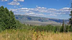
About two thirds of the way up, an open flat holds a dispersed camping spot with some shade and a bit of privacy from the road, a good option for a basecamp before pushing on toward Strawberry Ridge. The climb through aspen and pine opens up periodically to views back down into the Strawberry Reservoir basin, and the timber sale history is still visible in the mix of old cuts and regrowth along the upper stretches.
Map
Interesting Waypoints
Waypoint 1

Waypoint 2
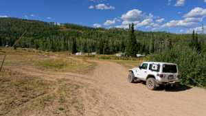
Waypoint 3
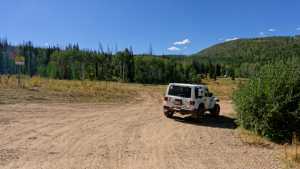
Waypoint 4
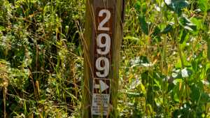
Waypoint 5 (40.22324, -111.25267)
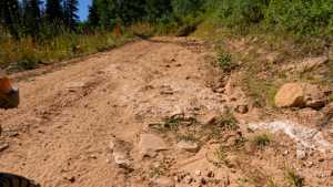
Waypoint 6 (40.22348, -111.25344)

Waypoint 7 (40.22954, -111.25977)

Waypoint 8 (40.22956, -111.25978)

Waypoint 9 (40.23046, -111.26037)
Waypoint 10 (40.23671, -111.26220)
