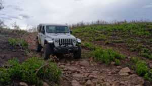
This short spur drops off County Road 3578 in the Fishlake National Forest, losing nearly 360 feet of elevation over a mile and a half as it winds down through the timber east of Cove Mountain. It's a quick out and back with one rocky stretch that gives the trail its rating, then eases back into a straightforward dirt two-track for the rest of the run.
Trail Summary
- Location: Fishlake National Forest, near Koosharem, UT (Sevier County)
- Distance: 1.5 miles
- Difficulty: Level 3
- Minimum Elevation: 7,611 ft
- Maximum Elevation: 7,976 ft
- Elevation Gain: 0 ft
- Travel Time: 20 minutes
Difficulty
Best suited for a high clearance 4x4
Stock vehicles with high ground clearance, 4WD capability, and off-road tires are recommended. Expect a more uneven, rocky road surface with obstacles and ledges up to 12 inches that call for careful tire placement. The road can be steep and loose in spots, with the potential for shallow water crossings and mud holes after rain. It runs one vehicle wide with occasional places to pass.
Elevation
The trail starts near County Road 3578 at 7,976 feet and drops steadily to 7,611 feet by the end, a net loss of about 357 feet over the run. The descent is gradual and consistent rather than coming in one big drop, spread out across the full mile and a half.
Terrain
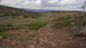
The road is dirt for most of its length. About a third of the way in, it tightens through a rocky stretch roughly three hundred yards long, called out as the toughest section of the drive. Outside of that stretch, the surface eases back into a standard forest two-track.
4WD Experience
This is a short, manageable run for a stock high clearance 4x4. The rocky three-hundred-yard section partway through the trail is the main thing to watch for, with careful tire placement helping to avoid contact with the undercarriage. The rest of the drive is a steady, easy descent through the forest. There's no camping permitted along this road, so plan to use it as a through-drive or connector rather than an overnight stop.
Travel Time
The recorded track shows about 20 minutes of total time on the road, with roughly 17 minutes of that spent moving. For a high clearance 4WD vehicle, plan on 20 to 30 minutes to account for the rocky section and any stops along the way.
Highlights
The steady elevation drop through the timber opens up periodic views down into the surrounding valley as the road descends. The rocky midsection breaks up an otherwise mellow cruise and is the memorable part of the drive.
Map
Interesting Waypoints
Waypoint 1 (38.708685, -111.939593)
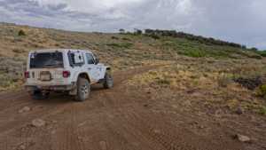
Waypoint 2 (38.708685, -111.939593)
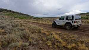
Waypoint 3 (38.708685, -111.939593)
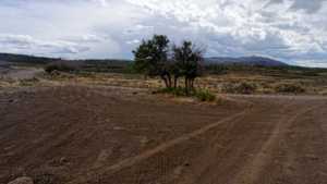
Waypoint 4 (38.708685, -111.939593)
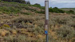
Waypoint 5 (38.708355, -111.937505)
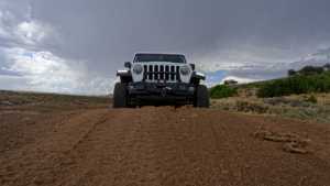
Waypoint 6 (38.708355, -111.937505)
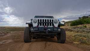
Waypoint 7 (38.708355, -111.937505)
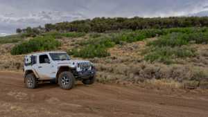
Waypoint 8 (38.708355, -111.937505)
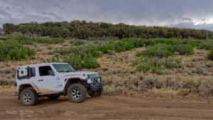
Waypoint 9 (38.69471, -111.921415)
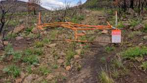
Waypoint 10 (38.69471, -111.921415)
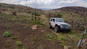
Waypoint 11 (38.69471, -111.921415)
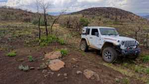
Waypoint 12 (38.69471, -111.921415)
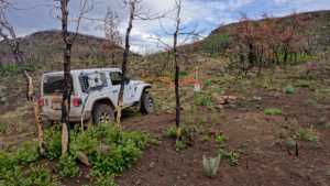
Waypoint 13 (38.69471, -111.921415)
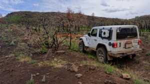
Waypoint 14 (38.698338, -111.924527)
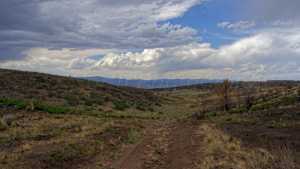
Waypoint 15 (38.698338, -111.924527)
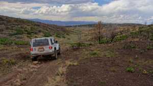
Waypoint 16 (38.69849, -111.924682)
Waypoint 17 (38.69849, -111.924682)

Waypoint 18 (38.698643, -111.924802)