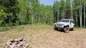
This short access road leads to Long Hollow Campsite, a popular dispersed camping area in the Uinta-Wasatch-Cache National Forest near Kamas, Utah. The road climbs steadily but gently through mixed forest, suitable for any vehicle with basic ground clearance. Ideal for reaching the campsite or as a quick connector between other trails in the area.
Trail Summary
- Location: Uinta-Wasatch-Cache National Forest, Utah County, Kamas
- Distance: 0.37 miles
- Difficulty: Level 1
- Minimum Elevation: 9,005 ft
- Maximum Elevation: 9,123 ft
- Elevation Gain: 100 ft
- Travel Time: 5-10 minutes
Difficulty
Suitable for high clearance 2WD
Stock equipment is sufficient. The road is dirt with minimal obstacles. Grades are gentle and steady with good traction. Suitable for most high-clearance vehicles and early-model 4WD. No special equipment needed.
Elevation
The route climbs 100 feet over the short distance, starting at 9,005 feet and cresting at 9,123 feet. The grade is consistent and moderate, with no steep sections or descents.
Terrain
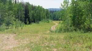
Dirt access road through mixed conifer forest typical of mid-elevation Utah canyons. Ruts and washboard are minimal. The road is relatively well-defined and receives light use. Clearance needs are minimal for this connector route.
4WD Experience
This is an ideal route for drivers gaining experience with high-clearance vehicle handling. No obstacles demand special technique. Visibility is good along the entire route. Safe for family trips and recreational camping access.
Travel Time
Expect 5 to 10 minutes of driving time depending on your pace and brief stops. This is primarily a campsite access road, not an extended trail experience. Ideal for reaching the campsite quickly or as a leg in a longer route combining multiple access roads.
Highlights
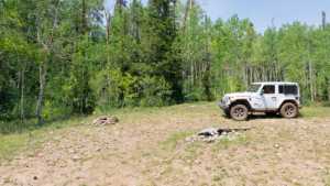
Long Hollow Campsite provides access to dispersed camping and is well-positioned for day trips into the surrounding forest recreation areas. The location offers a quiet base camp for further exploration of nearby trails and ridge routes in the Uinta-Wasatch-Cache National Forest.
To get more information and the trail GPS file, please visit Trails Offroad
Map
Interesting Waypoints
Waypoint 1 (GPS Location estimated from timestamp)

Waypoint 2 (GPS Location estimated from timestamp)
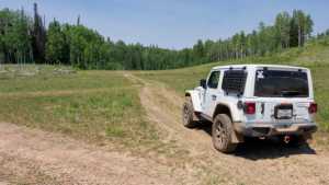
Waypoint 3 (GPS Location estimated from timestamp)
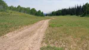
Waypoint 4 (GPS Location estimated from timestamp)

Waypoint 5 (GPS Location estimated from timestamp)
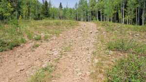
Waypoint 6 (GPS Location estimated from timestamp)
Waypoint 7 (GPS Location estimated from timestamp)
Waypoint 8 (GPS Location estimated from timestamp)

Waypoint 9 (GPS Location estimated from timestamp)