Monroe Peak Road climbs out of Monroe Canyon in the Fishlake National Forest, gaining nearly 900 feet over 3.7 miles as it works up toward the high ridge near Monroe Peak. The route follows an easy shelf road for most of its length, wide enough for a vehicle and a half through most of the drive, with one narrower stretch near the top. Burn scarring from the 2025 Monroe Canyon Fire is visible along the lower section, and the open ridge up high offers wide views across the Sevier Plateau.
Trail Summary
- Location: Fishlake National Forest, near Monroe, Utah (Sevier County)
- Distance: 3.7 miles
- Difficulty: Level 1, suitable for high clearance 2WD
- Minimum Elevation: 10,221 ft
- Maximum Elevation: 11,177 ft
- Elevation Gain: 904 ft
- Travel Time: 27 minutes
Difficulty
Suitable for high clearance 2WD
Stock equipment is enough for this drive, and no special gear is needed. The surface is dirt and rock with occasional dips and small ruts, none of which run deeper than about 5 inches. Grades stay gentle and traction is good throughout. The road runs wide enough for two vehicles for most of its length, with one narrower shelf road stretch near the top where drivers should watch for oncoming traffic.
Elevation
The road starts around 10,221 feet and tops out near 11,177 feet, a gain of about 904 feet over the run. There is almost no elevation loss along the way, just a steady climb from the canyon floor up onto the ridge.
Terrain
The lower half runs through a mix of open forest and burned timber left by the 2025 Monroe Canyon Fire. As the road gains elevation it settles into a shelf cut along the mountainside, wide enough for a vehicle and a half through most of the drive. Loose gravel and small rock show up in spots, but the surface stays firm and predictable.
4WD Experience
This is a mellow, high clearance drive that most stock 2WD vehicles can handle in dry conditions. The steepest sections have good traction, and there are no obstacles that call for careful tire placement. The one spot to slow down for is a single lane section of shelf road near the top of the climb, where there is not room to pass an oncoming vehicle.
Travel Time
The recorded track shows about 27 minutes total, with roughly 18 minutes of that spent moving. A high clearance 4WD vehicle can expect a similar pace, likely 25 to 35 minutes one way with a few stops for photos or to let oncoming traffic pass on the narrower shelf road section.
Highlights
The upper stretch of road opens onto wide views across the Sevier Plateau, with the communication towers near Monroe Peak visible from the high point of the drive. The burned timber lower on the route is a reminder of the 2025 Monroe Canyon Fire, with new growth already filling in beneath the standing snags. There is no camping along this stretch of road.
Map
Interesting Waypoints
Waypoint 1 (38.529813, -112.07277)

Waypoint 2 (38.529813, -112.07277)
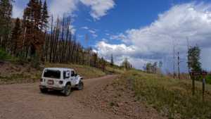
Waypoint 3 (38.529813, -112.07277)

Waypoint 4 (38.529813, -112.07277)

Waypoint 5 (38.529813, -112.07277)

Waypoint 6 (38.540362, -112.073198)

Waypoint 7 (38.540362, -112.073198)

Waypoint 8 (38.540543, -112.073218)
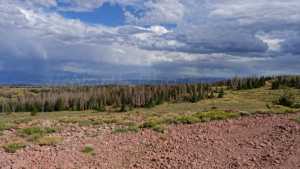
Waypoint 9 (38.541848, -112.073053)

Waypoint 10 (38.541848, -112.073053)

Waypoint 11 (38.541848, -112.073053)

Waypoint 12 (38.541848, -112.073053)

Waypoint 13 (38.541848, -112.073053)

Waypoint 14 (38.541848, -112.073053)
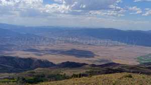
Waypoint 15 (38.541848, -112.073053)

Waypoint 16 (38.541848, -112.073053)

Waypoint 17 (38.535858, -112.072785)

Waypoint 18 (38.535858, -112.072785)

Waypoint 19 (38.535858, -112.072785)

Waypoint 20 (38.535858, -112.072785)
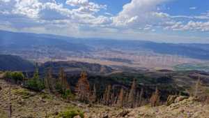
Waypoint 21 (38.535858, -112.072785)

Waypoint 22 (38.540193, -112.059095)

Waypoint 23 (38.539575, -112.059518)

Waypoint 24 (38.539575, -112.059518)
