Rhodes Canyon drops off Highway 35 near Hanna and works its way down through the Soapstone Basin country of the Uinta-Wasatch-Cache National Forest. The route mixes open meadow, aspen groves, and a stretch of burn scar left behind by the Hanna Fire, with a long, steady descent that loses more than 2,300 feet before reaching the bottom of the canyon. It is a mellow drive for a high clearance rig, but the scenery and the variety of terrain make it worth the trip on its own.
Trail Summary
- Location: Hanna, Utah, near the Highway 35 and Rhodes Canyon Road junction
- Distance: 7.9 miles
- Difficulty: Level 2
- Minimum Elevation: 7,373 feet
- Maximum Elevation: 9,783 feet
- Elevation Gain: 121 feet
- Travel Time: 1 hour 20 minutes
Difficulty
Typically suitable for high clearance 2WD
Stock equipment is sufficient, but the terrain will likely test tire traction and ground clearance. Expect dirt and rocky road with potential obstacles under 9 inches, such as rocks, dips, or ruts, along with grades that can be steep but generally offer good traction. The road is typically unmaintained after rain or snow, so shallow water crossings and small ledges under 12 inches are possible. Most of the route runs one to two vehicles wide.
Elevation
The trail starts high, near 9,783 feet, and works its way down to 7,373 feet by the time it reaches the bottom of the canyon. Total elevation loss comes to about 2,460 feet against only 121 feet of gain, for a net drop of roughly 2,340 feet over the course of the drive. The descent is steady rather than abrupt, with the steepest sections concentrated in the upper half of the route.
Terrain
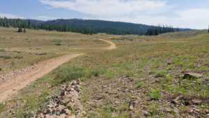
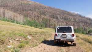
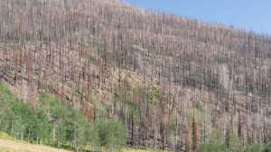
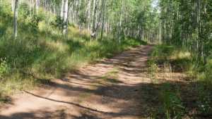
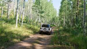
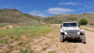
Rhodes Canyon runs through mountain shelf roads and rocky two-track, starting in open meadow country before dropping into denser forest. The upper trail crosses a broad valley with long views before narrowing into the canyon proper. Aspen groves line several sections lower down, and a stretch of standing burn scar from the Hanna Fire marks the middle portion of the route, visible on both sides of the drainage where the fire jumped across the valley.
4WD Experience
High clearance is helpful throughout, though four wheel drive is rarely required in dry conditions. The road surface alternates between smooth dirt and rockier patches with small dips and ruts, none of which demand careful line choice. After rain or snowmelt the surface can get greasy in spots, so traction becomes more of a factor than clearance. This is a good introduction to the Soapstone Basin trail network for a driver still building confidence off pavement.
Travel Time
The recorded drive took about 1 hour and 20 minutes including stops, with roughly an hour of that spent moving. A high clearance 4WD vehicle with a couple of photo stops should plan on a similar window, closer to 1 hour if driven straight through.
Highlights
An early highlight is the open valley where the road crosses a low saddle, giving a clear view across the basin before the trail narrows. Farther along, a wide overlook above a small pond ringed with green grass makes a natural lunch stop, often shared with grazing cattle. The trail then passes through a substantial aspen grove before entering the Hanna Fire burn area, where scorched slopes on both sides of the canyon show how the fire crossed the drainage. The lower stretch returns to pastoral aspen stands as the road eases toward the bottom of the canyon.
Trail GPS File
Map
GAIA GPS Track
Interesting Waypoints
Waypoint 1
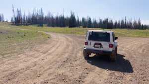
Waypoint 2
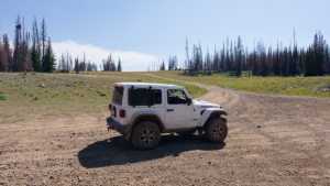
Waypoint 3
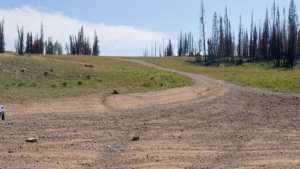
Waypoint 4 (40.529843, -110.933153)
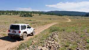
Waypoint 5 (40.529826, -110.933153)
Waypoint 6 (40.522504, -110.907375)

Waypoint 7 (40.503850, -110.898226)
Waypoint 8 (40.503716, -110.898139)
Waypoint 9 (40.490536, -110.896332)

Waypoint 10 (40.490534, -110.896332)
Waypoint 11 (40.490528, -110.896334)
Waypoint 12 (40.460922, -110.892645)
Waypoint 13 (40.460915, -110.892676)
