Silver Lake Flat Road climbs out of American Fork Canyon on a narrow shelf road, following FS 70008 up past Tibble Fork Reservoir to the Silver Lake Flat Reservoir trailhead. The route starts on a rocky two-track, works along a hogsback ridge with drop-offs on either side, and tops out at a reservoir known for grayling fishing and moose sightings. A handful of dispersed camping spots sit near the end of the road for those who want to spend the night.
Trail Summary
- Location: American Fork Canyon, near American Fork, Utah, off UT-92 (Alpine Loop Road) and N American Fork Canyon Road, past Tibble Fork Reservoir
- Distance: 3.95 miles one-way
- Difficulty: Level 2
- Minimum Elevation: 6,671 ft
- Maximum Elevation: 7,745 ft
- Elevation Gain: 1,239 ft
- Travel Time: 45 minutes to 1 hour one-way
Difficulty
Typically suitable for high clearance 2WD
Stock equipment is sufficient, but the terrain will likely test tire traction and ground clearance. Expect dirt and rocky road surface with potential obstacles under 9 inches, such as rocks, dips, or ruts. Grades can be steep in sections but traction stays good. The road is typically unmaintained after rain or snow, and there is a shallow creek crossing to watch for depth on before committing. Roads are one to two vehicles wide with pullouts for passing.
Elevation
The road climbs steadily from 6,671 feet near the bottom of the canyon to 7,745 feet at the reservoir, a net gain of about 1,239 feet over the run. There is very little elevation loss along the way, just a few short dips of around 167 feet total, so this is a consistent, one-direction climb rather than a series of ups and downs.
Terrain
This is mountain shelf road and rocky two-track for nearly the entire route. The first stretch out of the canyon bottom is a rougher, rockier climb, then the road narrows onto a hogsback, a bridge-like ridge with the drainage falling away on both sides. Past the hogsback the surface settles into a graded dirt and rock road that winds up switchbacks toward the reservoir, with a shallow creek crossing along the way.
4WD Experience
High clearance is more valuable here than four-wheel drive, though 4WD helps with traction on the steeper, looser pitches. Washboard and erosion ruts build up after storms, and the narrow sections along the hogsback call for careful attention to the edge of the road. The creek crossing near the reservoir is shallow but should be checked before driving through, since depth can change with runoff and rain. Stock SUVs and trucks handle this route without issue in dry conditions.
Travel Time
Plan on 45 minutes to an hour for the one-way drive in a high-clearance 4WD vehicle, allowing time to slow down through the rockier sections and stop at pullouts along the hogsback. Add extra time if you plan to stop at the reservoir parking area or explore the camping spots near the end of the road.
Highlights
The hogsback stretch offers open views down into the surrounding drainages on both sides of the road. Silver Lake Flat Reservoir sits at the top of the drive, a quieter and more secluded alternative to Tibble Fork below, with good fishing for grayling, rainbow, brook, and cutthroat trout, and moose commonly seen in the area. A handful of open, shaded camping spots near the end of the road can fit two or three rigs, with more sites tucked farther in past posted no motor vehicle areas.
Map
Interesting Waypoints
Waypoint 1 (40.489850, -111.652822)
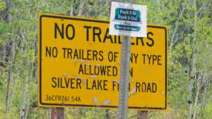
Waypoint 2 (40.489855, -111.652814)
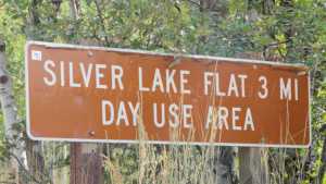
Waypoint 3 (40.489859, -111.652810)
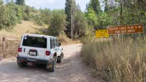
Waypoint 4 (40.489868, -111.652801)

Waypoint 5 (40.493052, -111.653417)

Waypoint 6 (40.493913, -111.650753)
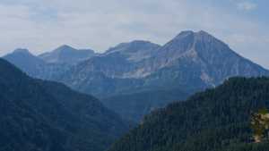
Waypoint 7 (40.503365, -111.659204)
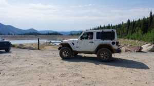
Waypoint 8 (40.503266, -111.659061)
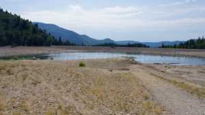
Waypoint 9 (40.503269, -111.659058)
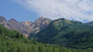
Waypoint 10 (40.512004, -111.654464)

Waypoint 11 (40.512002, -111.654465)

Waypoint 12 (40.511900, -111.656020)

Waypoint 13 (40.514302, -111.655035)
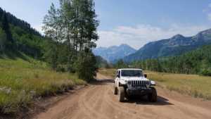
Waypoint 14 (40.514358, -111.655042)

Waypoint 15 (40.514361, -111.655042)

Waypoint 16 (40.514362, -111.655042)
