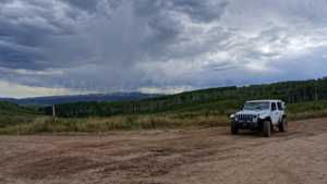
This route climbs out of the Hobble Creek Canyon area and works its way north along Indian Springs road (70501) before joining Strawberry Ridge road (70518) and finishing on a wide shelf road above the canyon. It starts as an easy, smooth gravel road and gradually turns into a narrower one-lane track with a handful of rutted sections, gaining elevation steadily as it climbs toward the ridge. Camping spots are scattered along nearly the entire length of the trail, making this a good pick for a basecamp weekend as much as a day drive.
Trail Summary
- Location: Hobble Creek Canyon area, east of Springville, Utah, off Hobble Creek Canyon Road (South Fork)
- Distance: 8.5 miles
- Difficulty: Level 2
- Minimum Elevation: 8,155 ft
- Maximum Elevation: 8,665 ft
- Elevation Gain: 546 ft
- Travel Time: About 1 hour
Difficulty
Typically suitable for high clearance 2WD
Stock equipment is sufficient, but the terrain will test tire traction and ground clearance in a few spots. Expect dirt and rocky road surface with potential obstacles under 9 inches, such as rocks, dips, or ruts, along with grades that can get steep but hold good traction. The road is typically unmaintained after rain or snow, and shallow water crossings or small ledges under 12 inches are possible. Roads run one to two vehicles wide for most of the route.
Elevation
The trail sits between 8,155 feet and 8,665 feet above sea level, with a total climb of 546 feet and 748 feet of descent along the way, for a net elevation loss of roughly 203 feet end to end. The route starts near Indian Springs, climbs through several rolling sections, tops out along Strawberry Ridge, then drops down onto the shelf road that closes out the trail.
Terrain
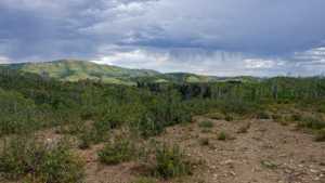
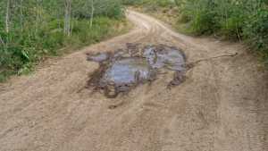
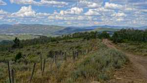
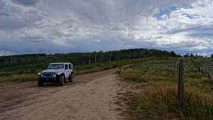
Expect mountain shelf roads and rocky two-track for most of the drive. The lower half winds through timber on a dirt and gravel surface, while the upper half opens onto a wider shelf road along the ridge with long sightlines over the canyon below. One section noted along the climb gets rutty and can hold moisture longer than the rest of the trail, so footing there is more variable depending on recent weather.
4WD Experience
A high clearance 4WD will move through this trail without much drama in dry conditions. The steepest and roughest stretch comes roughly a third of the way in, where the road narrows and gets rutted, easily manageable in dry season but worth having 4WD engaged if the ground is wet. The rest of the drive is a mix of easy gravel and mildly rocky sections that don't require any special line choice. The shelf road near the north end is wide enough that there's no concern about exposure, even though it runs along the edge of the mountain.
Travel Time
The recorded run covered the trail in about 58 minutes, with roughly 53 minutes of that spent moving and the rest stopped at camping spots and viewpoints. A high-clearance 4WD driving at a steady, unhurried pace with a few stops for photos should plan on about 1 hour to 1 hour 15 minutes to cover the full 8.5 miles.
Highlights
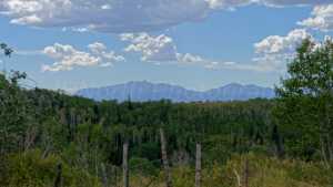
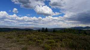
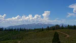
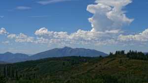
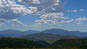
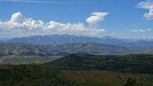
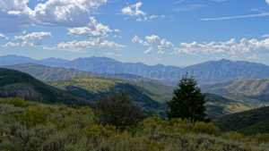
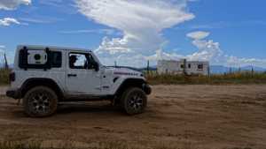
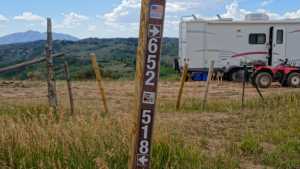
Camping options show up early and often along this trail, from a private, mostly shaded spot near the start to larger open areas further up that can hold anywhere from five to ten rigs. The upper portion of the route runs along Strawberry Ridge with open views back over the canyon, and the wide shelf road near the north end offers one of the best vantage points on the trail without any of the exposure concerns that shelf roads sometimes bring.
Map
Interesting Waypoints
Waypoint 1 (40.03869, -111.23809)
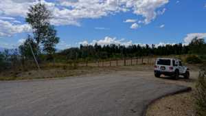
Waypoint 2 (40.03869, -111.23809)
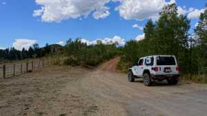
Waypoint 3 (40.03869, -111.23809)
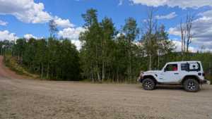
Waypoint 4 (40.03897, -111.23795)
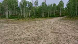
Waypoint 5 (40.03957, -111.23733)
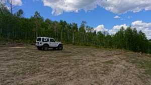
Waypoint 6 (40.03957, -111.23733)
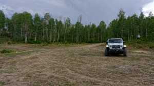
Waypoint 7 (40.06110, -111.24356)
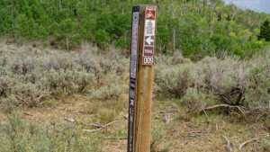
Waypoint 8 (40.06131, -111.24369)
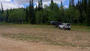
Waypoint 9 (40.06131, -111.24369)
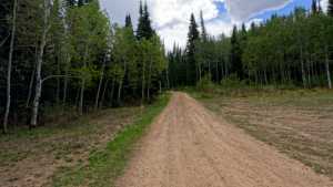
Waypoint 10 (40.06131, -111.24369)
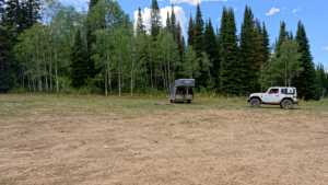
Waypoint 11 (40.06131, -111.24369)
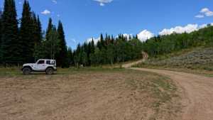
Waypoint 12 (40.06458, -111.24265)
Waypoint 13 (40.06458, -111.24265)
Waypoint 14 (40.06765, -111.23912)
Waypoint 15 (40.06989, -111.23585)
Waypoint 16 (40.06989, -111.23585)
Waypoint 17 (40.06989, -111.23585)
Waypoint 18 (40.06989, -111.23585)
Waypoint 19 (40.06989, -111.23585)

Waypoint 20 (40.08596, -111.24245)
Waypoint 21 (40.08596, -111.24245)

Waypoint 22 (40.08747, -111.24244)
Waypoint 23 (40.08747, -111.24244)
Waypoint 24 (40.13748, -111.22368)
Waypoint 25 (40.13748, -111.22368)
Waypoint 26 (40.13748, -111.22368)
Waypoint 27 (40.13748, -111.22368)