Twelve Hundred Dollar Road climbs out of a rocky trailhead in the Uinta Mountains and works its way up toward Strawberry Peak, gaining a ridge that carries the name Twelve Hundred Dollar Ridge on the topo maps. The lower half is a steady, well-graded climb through timber. Higher up the road tightens and gets rockier for a short stretch before opening onto a broad camping bench with wide views back toward Strawberry Reservoir country. From there the route follows the ridge north, passing through a gated section on private ground before finishing out along a rolling two-track that ends short of where the motor vehicle use map shows it continuing.
Trail Summary
- Location: Wasatch County, Utah, near Strawberry Peak, off Forest Road 200 in the Uinta-Wasatch-Cache National Forest.
- Distance: About 5.5 miles one way.
- Difficulty: Level 2, typically suitable for high clearance 2WD.
- Minimum Elevation: 9,433 ft.
- Maximum Elevation: 10,308 ft.
- Elevation Gain: 556 ft.
- Travel Time: About 53 minutes recorded on the track, with roughly 47 minutes of that in motion.
Difficulty
Typically suitable for high clearance 2WD
Stock equipment is sufficient, but the terrain will test tire traction and ground clearance in a few spots. Expect dirt and rocky road surface with occasional obstacles under 9 inches, such as rocks, dips, and ruts. Some sections run steep but hold decent traction. The road is unmaintained after rain or snow, and a tight, rocky stretch partway up matches this level closely, so plan on careful tire placement there.
Elevation
The road starts around 9,730 ft at the trailhead and works its way up to a high point of 10,308 ft along the ridge before easing back down to about 9,460 ft by the far end. Total climbing on the recorded track comes to 556 ft, with 846 ft of descent worked in as the road rolls along the ridge rather than climbing straight to the top and back down. Net change from start to finish is a loss of about 266 ft, since the route doesn't return to the trailhead elevation.
Terrain
This is mountain shelf road and rocky two-track for most of its length. The lower stretch is a wide, well-used forest road through timber with long, rolling climbs. Above the camping bench the road narrows to one vehicle wide with occasional passing spots, staying rocky and undulating the rest of the way to the ridge and beyond.
4WD Experience
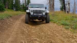
A stock high-clearance 4WD handles this road without difficulty. The tight, rocky section noted partway up the climb is the one place worth slowing down for and picking a careful line. Outside of that, traction stays good throughout and the grades are moderate. Full-size trucks with good tires will have no trouble, though the one-vehicle-wide sections above the camp bench call for some awareness of oncoming traffic.
Travel Time
The recorded track shows about 53 minutes end to end, with close to 47 minutes of that actually moving and the rest spent stopped, mostly for photos at the overlooks and the camping bench. A high-clearance 4WD running the route at a similar pace should plan on 45 minutes to an hour for the drive itself, with extra time built in for stops at the views along the ridge.
Highlights
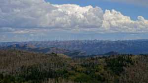
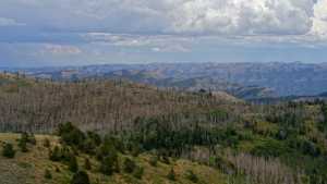
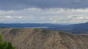
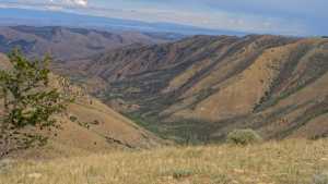
The camping bench partway up the ridge has room for several rigs and opens up to a wide view back over the surrounding country, though there's no shade since it sits out in the open. Further along, the ridge itself carries the Twelve Hundred Dollar Ridge name and gives good views from its high points. The gated section marks the edge of private ground, and the road itself ends short of where older maps show it continuing on.
Map
Interesting Waypoints
Waypoint 1 (GPS Location: 40.03949, -110.99617)

Waypoint 2 (GPS Location: 40.03949, -110.99617)
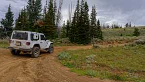
Waypoint 3 (GPS Location: 40.03949, -110.99617)
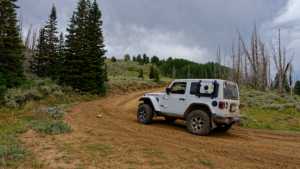
Waypoint 4 (GPS Location: 40.03949, -110.99617)
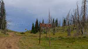
Waypoint 5 (GPS Location: 40.04811, -110.98493)
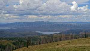
Waypoint 6 (GPS Location: 40.04811, -110.98493)
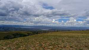
Waypoint 7 (GPS Location: 40.04702, -110.98471)

Waypoint 8 (GPS Location: 40.04702, -110.98471)

Waypoint 9 (GPS Location: 40.04702, -110.98471)
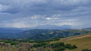
Waypoint 10 (GPS Location: 40.04702, -110.98471)
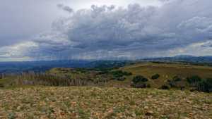
Waypoint 11 (GPS Location: 40.04702, -110.98471)

Waypoint 12 (GPS Location: 40.04702, -110.98471)
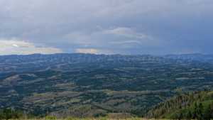
Waypoint 13 (GPS Location: 40.04702, -110.98471)
Waypoint 14 (GPS Location: 40.04702, -110.98471)
Waypoint 15 (GPS Location: 40.04702, -110.98471)
Waypoint 16 (GPS Location: 40.04702, -110.98471)

Waypoint 17 (GPS Location: 40.04702, -110.98471)

Waypoint 18 (GPS Location: 40.04702, -110.98471)

Waypoint 19 (GPS Location: 40.05016, -110.98212)
Waypoint 20 (GPS Location: 40.05083, -110.98099)

Waypoint 21 (GPS Location: 40.05083, -110.98099)

Waypoint 22 (GPS Location: 40.05083, -110.98099)

Waypoint 23 (GPS Location: 40.05083, -110.98099)

Waypoint 24 (GPS Location: 40.06801, -110.97128)
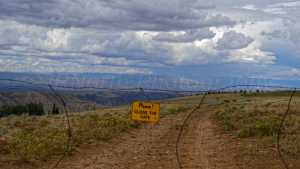
Waypoint 25 (GPS Location: 40.06801, -110.97128)
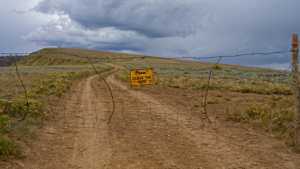
Waypoint 26 (GPS Location: 40.08042, -110.9522)

Waypoint 27 (GPS Location: 40.08042, -110.9522)

Waypoint 28 (GPS Location: 40.08065, -110.95053)
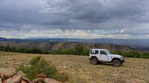
Waypoint 29 (GPS Location: 40.08065, -110.95053)

Waypoint 30 (GPS Location: 40.08065, -110.95053)
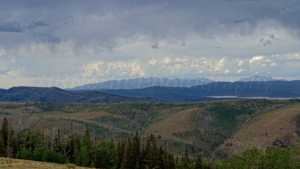
Waypoint 31 (GPS Location: 40.08834, -110.94186)

Waypoint 32 (GPS Location: 40.08834, -110.94186)
Waypoint 33 (GPS Location: 40.08834, -110.94186)

Waypoint 34 (GPS Location: 40.08834, -110.94186)
Waypoint 35 (GPS Location: 40.08834, -110.94186)
