Willow Creek Ridge climbs out of a series of forested drainages south of Soldier Summit, gaining nearly 2,400 feet over about 14 miles of dirt road and narrow shelf sections. The route is dotted with dispersed camping spots the whole way up, from small one rig pullouts to larger sites that can hold four or five rigs. It tops out near its high point close to the end of the run, with a short stretch of unmaintained road through private property along the way.
Trail Summary
- Location: Near Soldier Summit, UT, off US-6 (Wasatch County)
- Distance: 14.2 miles
- Difficulty: Level 2, Typically suitable for high clearance 2WD
- Minimum Elevation: 8,824 feet
- Maximum Elevation: 9,792 feet
- Elevation Gain: 2,389 feet
- Travel Time: 2 hours 13 minutes
Difficulty
Typically suitable for high clearance 2WD
Stock equipment is sufficient here, but the terrain will test tire traction and ground clearance in a few spots. Expect dirt and rocky road with obstacles under 9 inches, such as rocks, dips, or ruts, and sections that stay steep but keep good traction. The road can go unmaintained after rain or snow, and there are shallow water crossings and small ledges under 12 inches along the way. Most of the route runs one to two vehicles wide.
Elevation
The route climbs steadily from about 8,824 feet at the start to 9,792 feet near the high point, picking up roughly 2,389 feet of gain along the way. Total elevation loss for the day came to about 1,779 feet, since the road dips through a few drainages before it tops out. Net change from start to finish works out to a gain of about 964 feet, with the highest point on the trail sitting close to the far end of the run.
Terrain
Willow Creek Ridge runs through mountain shelf roads and rocky two-track for most of its length. Several short shelf sections are cut into the hillside, wide enough for a vehicle and a half with occasional pull-offs to let oncoming traffic pass. Between those narrower stretches the road widens out through timber and open meadow as it works its way up the ridge.
4WD Experience
A high clearance 4WD handles this route without much trouble. Stock tires and stock clearance are enough for the dirt and rock sections, though the toughest spot on the trail sits about a third of the way in, a shallow dip that could catch a long trailer with limited clearance. The road also crosses private property partway up. Stay on the established route and respect the posted boundaries through that stretch.
Travel Time
Recorded travel time for this run came to 2 hours and 13 minutes, including stops at camp spots and viewpoints along the way. Moving time alone was closer to 2 hours and 8 minutes. For a high clearance 4WD covering the same 14.2 miles, plan on roughly 2 to 2.5 hours depending on how much time gets spent checking out camp spots and views along the ridge.
Highlights
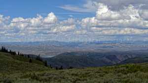
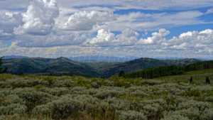
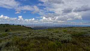
Dispersed camping is the main draw along this route, with more than a dozen spots scattered along its length, some tucked into the trees with privacy and shade, others open with big views. The shelf road sections offer looks down into the surrounding drainages, and the best views of the trip come near the end of the run, right around the trail's high point.
Map
Interesting Waypoints
Waypoint 1 (39.988693, -111.155285)

Waypoint 2 (39.986702, -111.153917)
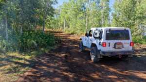
Waypoint 3 (39.986702, -111.153917)
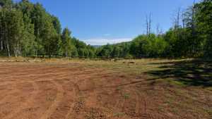
Waypoint 4 (39.985413, -111.150733)

Waypoint 5 (39.985413, -111.150733)

Waypoint 6 (39.985283, -111.148217)
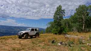
Waypoint 7 (39.992642, -111.126125)
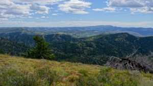
Waypoint 8 (39.992642, -111.126125)
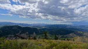
Waypoint 9 (39.992642, -111.126125)
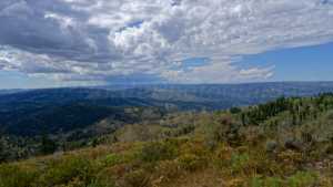
Waypoint 10 (39.992642, -111.126125)

Waypoint 11 (40.003178, -111.113047)
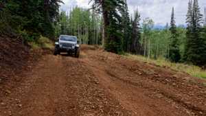
Waypoint 12 (40.021718, -111.078055)

Waypoint 13 (40.021718, -111.078055)
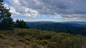
Waypoint 14 (40.021718, -111.078055)

Waypoint 15 (40.021718, -111.078055)

Waypoint 16 (40.02286, -111.072815)

Waypoint 17 (40.02286, -111.072815)

Waypoint 18 (40.02286, -111.072815)

Waypoint 19 (40.04639, -111.03812)
Waypoint 20 (40.04639, -111.03812)

Waypoint 21 (40.046985, -111.038645)

Waypoint 22 (40.046985, -111.038645)
Waypoint 23 (40.046985, -111.038645)
Waypoint 24 (40.046057, -111.038407)
